Sobre
Welcome to Kingdom of Maps - a digital map shop and curated archive of cartographic history, reimagined for the modern world. Here, vintage maps aren’t just relics of the past; they’re visual stories, design elements, and conversation starters. Whether you're a history enthusiast, a traveler at heart, or a designer seeking timeless texture, you’ll find something here that speaks to your sense of place and time.
Each map in this collection is carefully restored from historical sources like 19th-century atlases, city plans, and exploration charts. I focus on clarity, authenticity, and high-resolution detail, ensuring every digital download is ready for printing, framing, or creative reuse. From antique city layouts to forgotten borderlines, these maps offer a glimpse into how the world once saw itself — and how far we've come.
Why digital? Because flexibility matters. You get instant access, no shipping delays, and the freedom to print at any size or use in your own projects. Whether you're decorating a study, crafting a game, or building a brand with vintage flair, these files are yours to adapt.
I’m passionate about maps not just as artifacts, but as tools for storytelling. My background in digital design and pixel-perfect restoration means every file is optimized for both aesthetic and technical quality. I also welcome custom requests — if you're looking for a specific region, era, or style, I’m happy to explore the archives with you.
New maps are added regularly, so check back often to discover fresh finds from the archives. Follow the shop to stay updated on the latest releases, and don’t hesitate to reach out with ideas or questions. Your next favorite map might be just around the corner.
Thanks for stopping by. Let these maps guide your creativity, spark your curiosity, and add a layer of depth to your space or project. The past is full of stories - and now, they’re just a download away.
Mais
Últimos Produtos Criados
Exibir todos os produtos
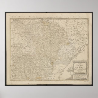
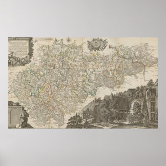
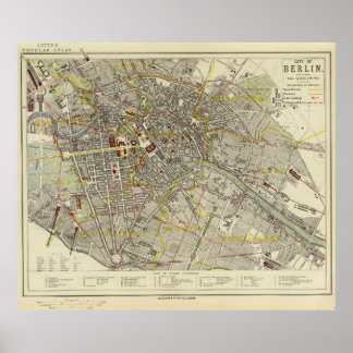
Poster Mapa da Moldávia e Valáquia de 1785
PreçoR$ 739,00
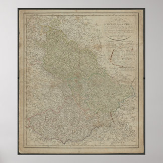
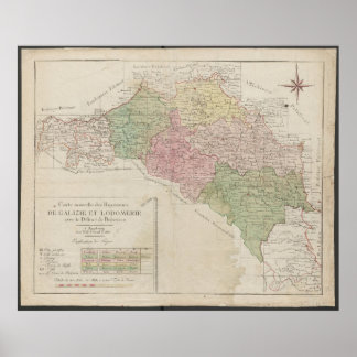
Poster Mapa de 1780 dos Reinos da Galícia e Lodoméria
PreçoR$ 752,00
Coleções
Exibir todas Coleções
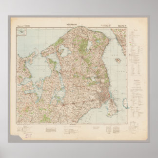
Europe Maps
5 itens
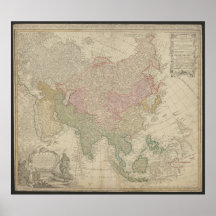
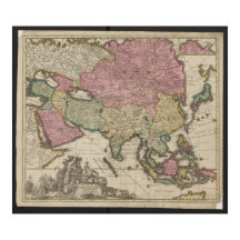

Asia Maps
2 itens
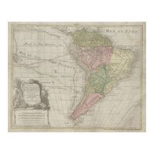
Latin America Maps
1 item
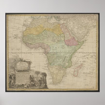
Africa Maps
1 item
USA Maps
2 itens
Poland Maps
1 item
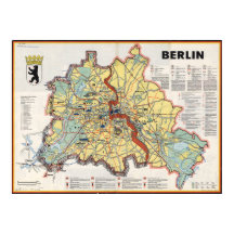
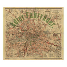
Germany Maps
23 itens
Produtos
Exibir todos os produtos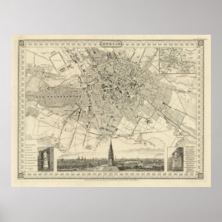
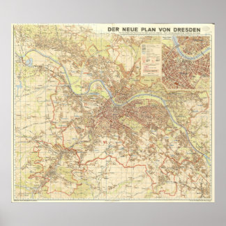
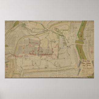
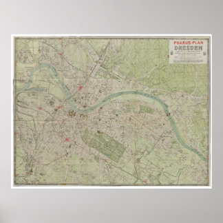
Poster Mapa da Cidade de Dresden de 1947, Desenho Urbano
PreçoR$ 704,00
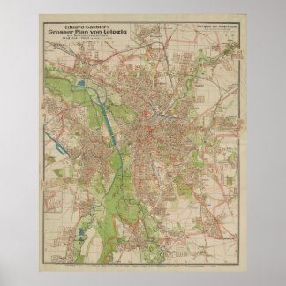
Poster E. Gaebler’s Grosser Plan von Leipzig (1943)
PreçoR$ 768,00
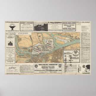
Poster Portal para o Mundo: Mapa do Porto de Hamburgo
PreçoR$ 873,00
Poster Mapa Plano Antigo de Dresden Alemanha de 1923
PreçoR$ 805,00
CRIADOR