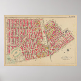
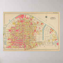
Atlas of the Borough of Brooklyn, City of New York
Explore a curated collection of vintage maps by George Washington Bromley from the 1908 Atlas of the Borough of Brooklyn, City of New York. These detailed antique maps capture the urban layout, streets, landmarks, and neighborhoods of early 20th-century Brooklyn with remarkable precision. A valuable resource for historians, collectors, and lovers of vintage cartography, this collection showcases the architectural and municipal planning of New York's largest borough during a period of rapid growth and change.
43 resultados


Outras Coleções que você pode gostar por GreyOwlVintage
Itens visualizados recentemente